| The swaag.org website uses cookies to provide website use and other information. Full details | Swaledale and Arkengarthdale Archaeology Group | The
Swaledale Project 7000 Years of a Landscape and its People |
The Swaledale Project: Hagg Site 103 Excavation Images.
If the images are too wide hold the Control button down and press the minus key until they fit. Control and the plus key will enlarge.
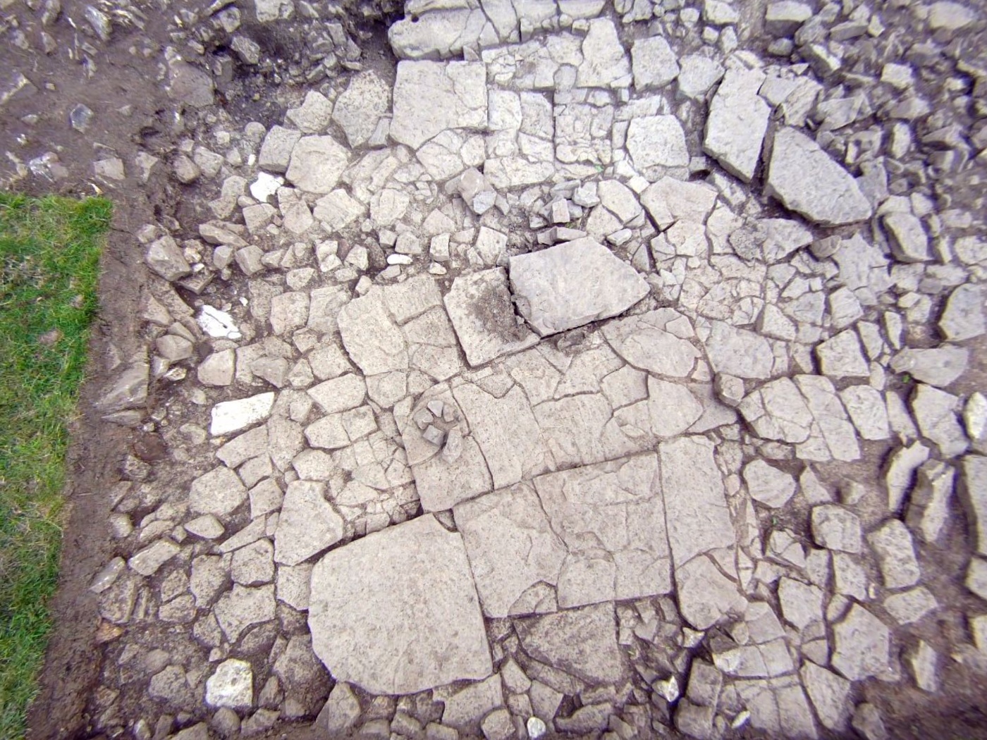
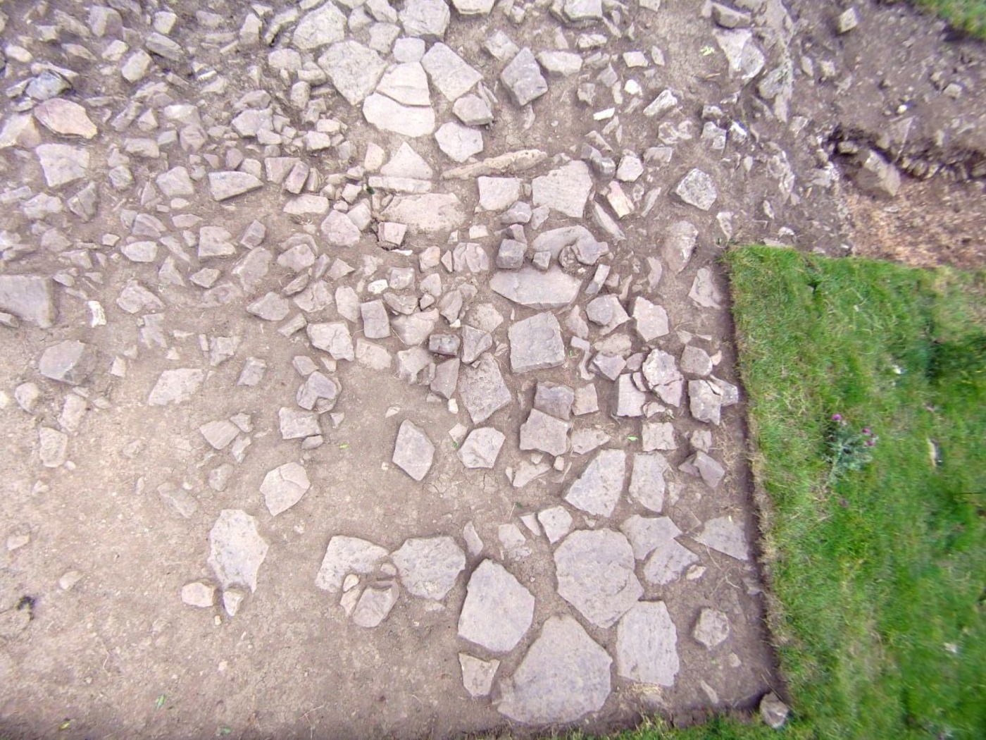
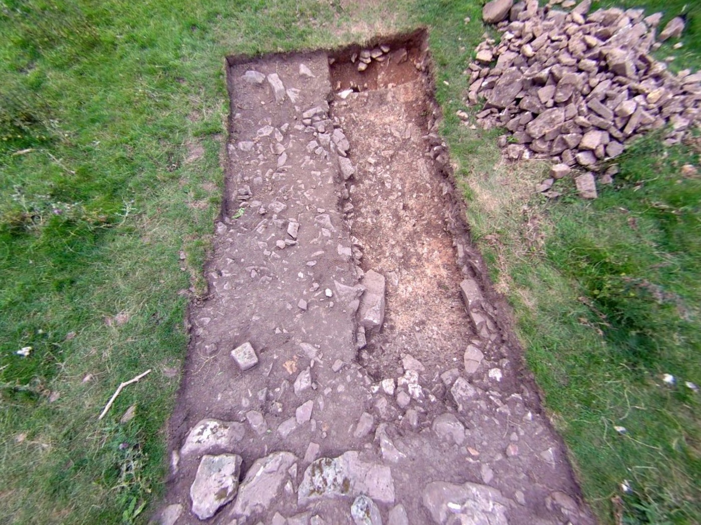
Most of these images are taken by a fish eye lens which causes some distortion.
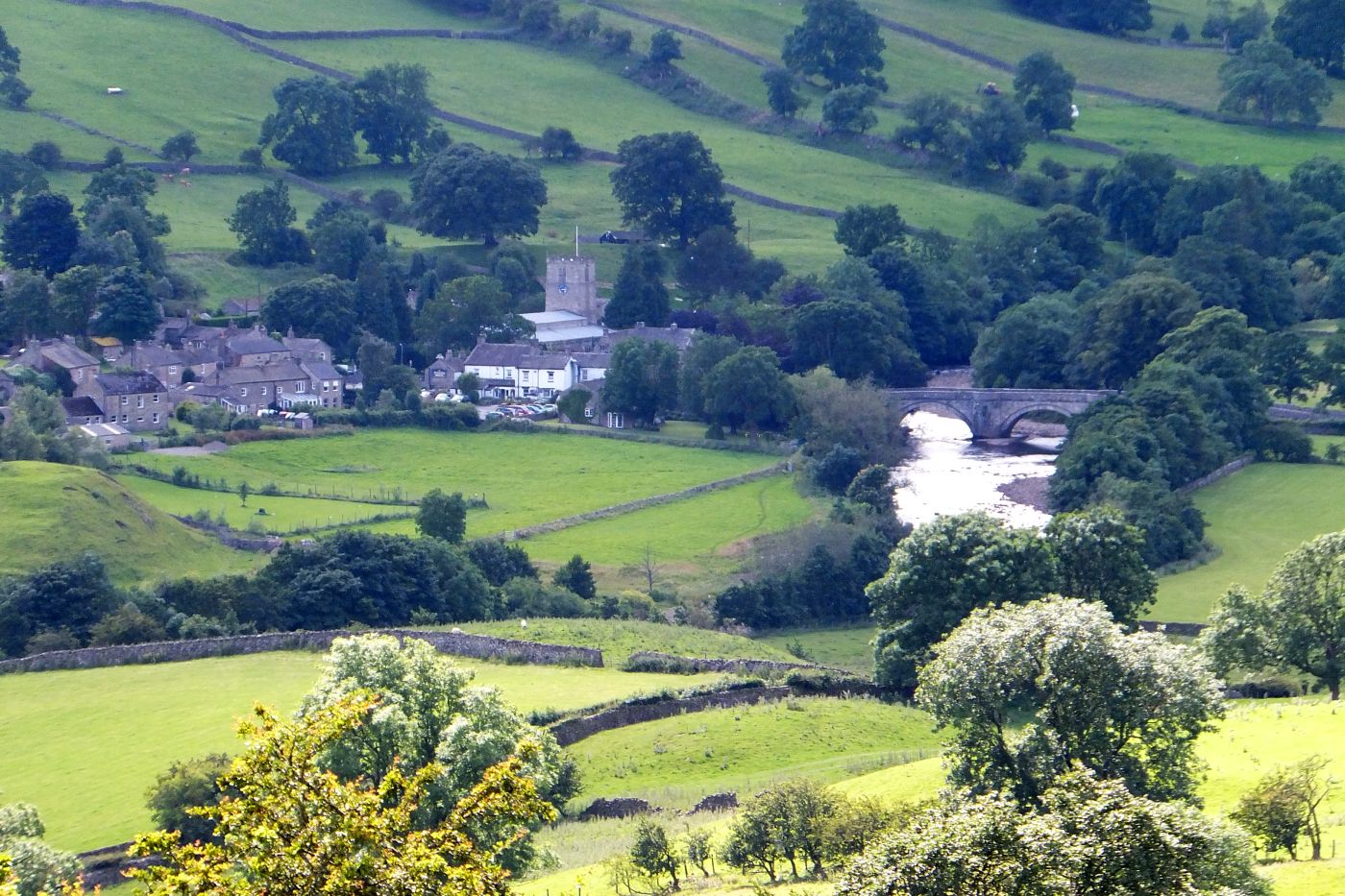
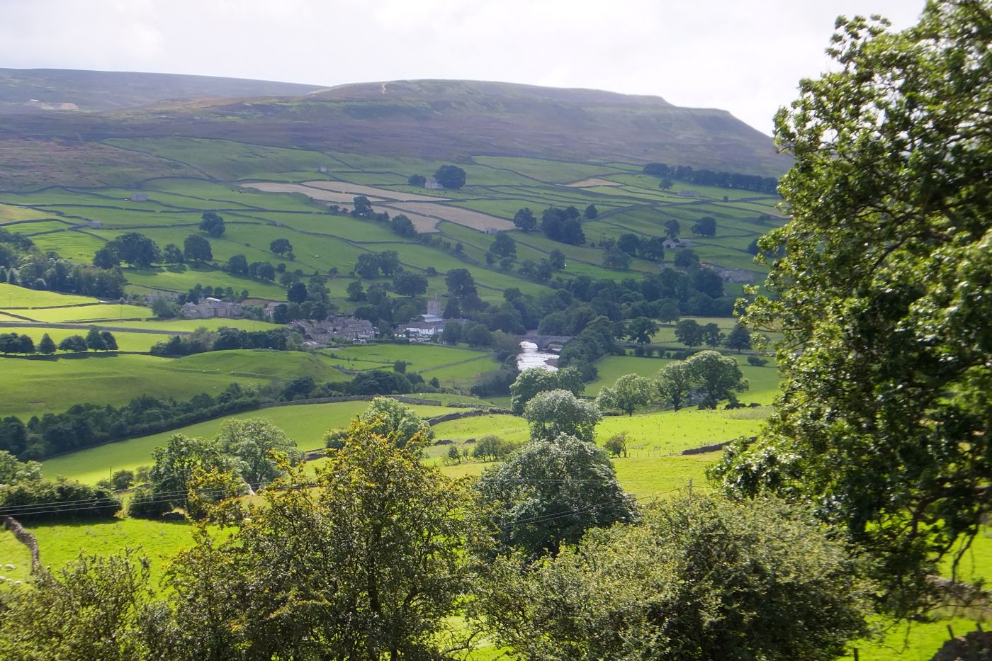
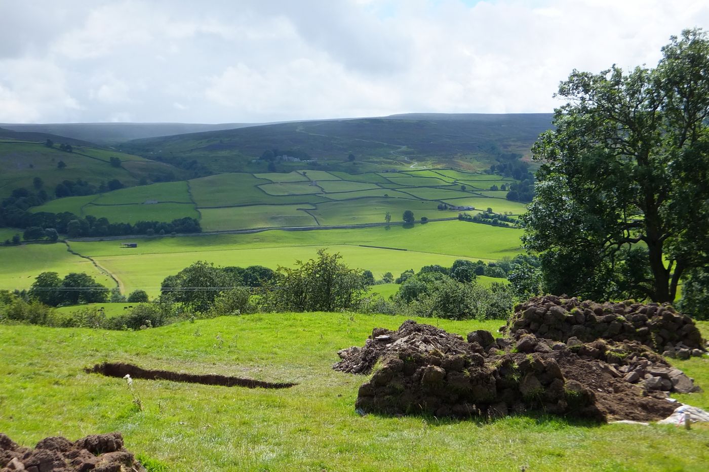
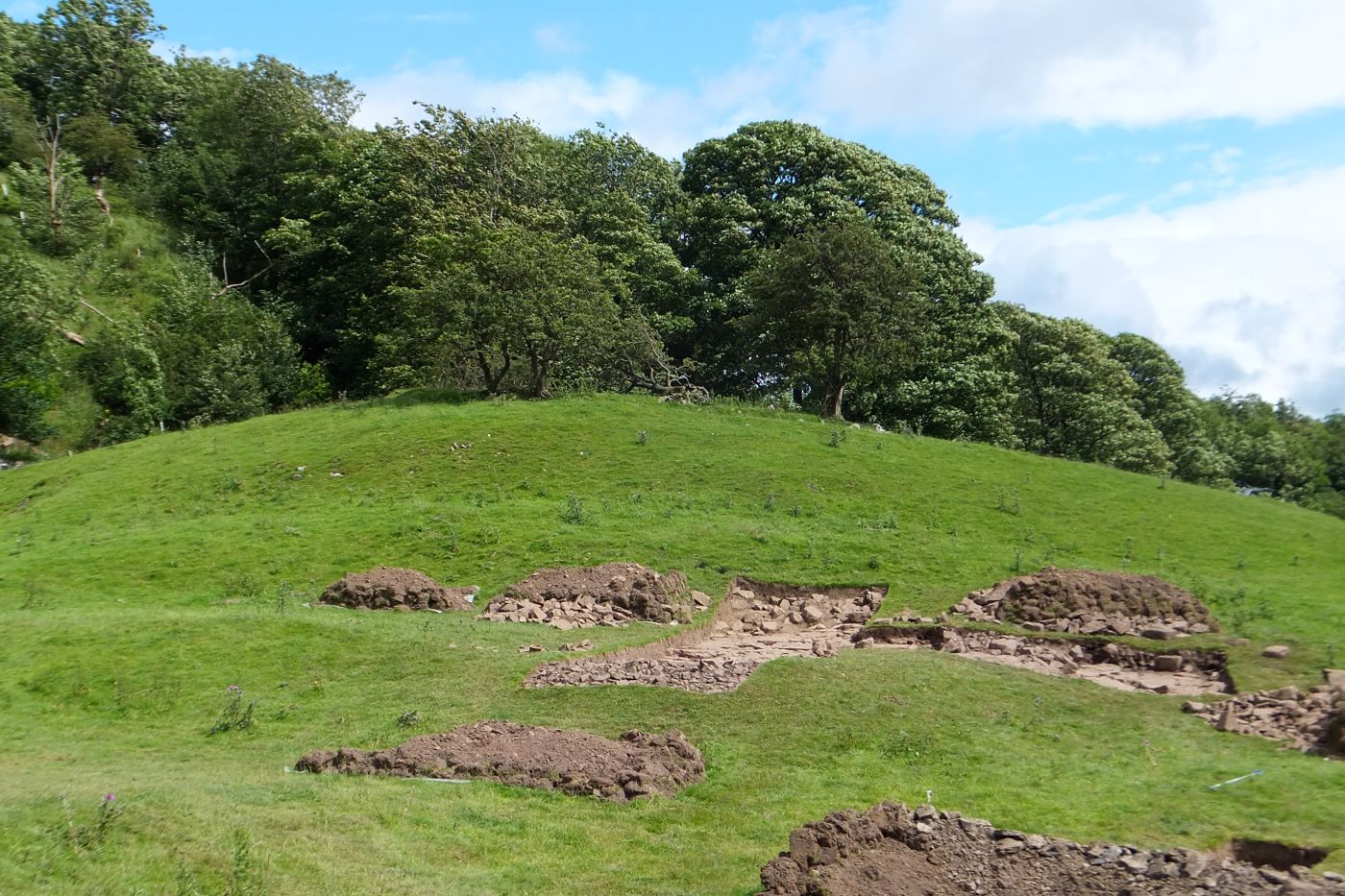
The images below shows the excavation site
above Grinton village in Swaledale
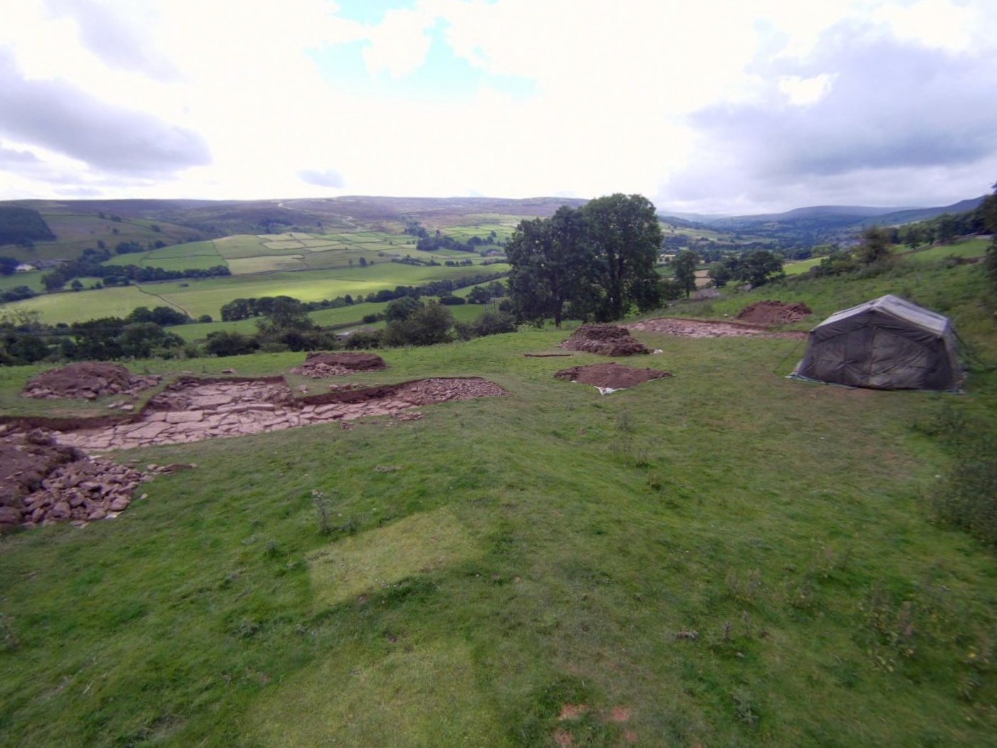
The next series of images (below) are from Trench 1:
Trench 1 is 't' shaped, the main section run roughly east-west, and the
't' extends down hill towards the south. (See above)
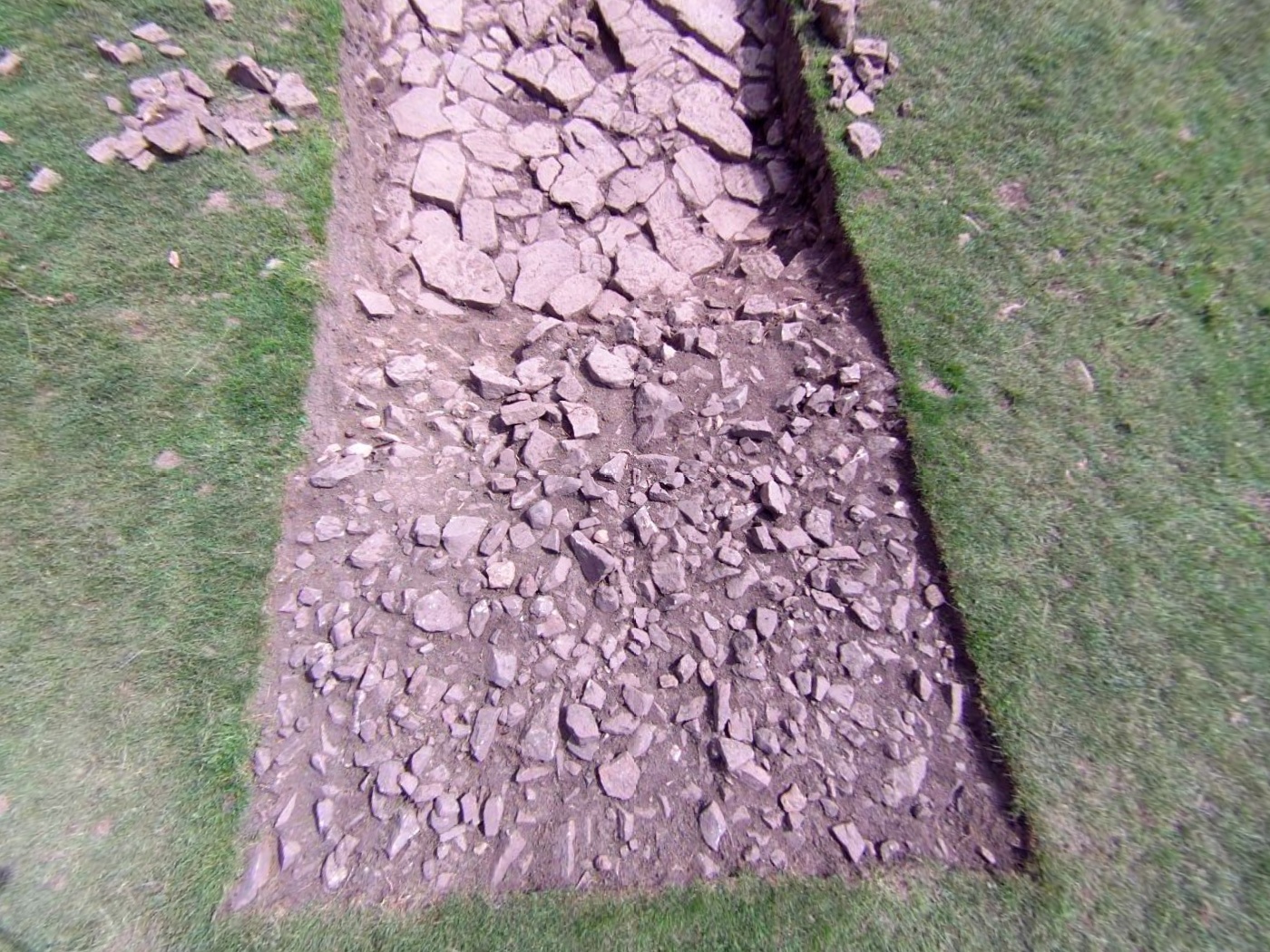
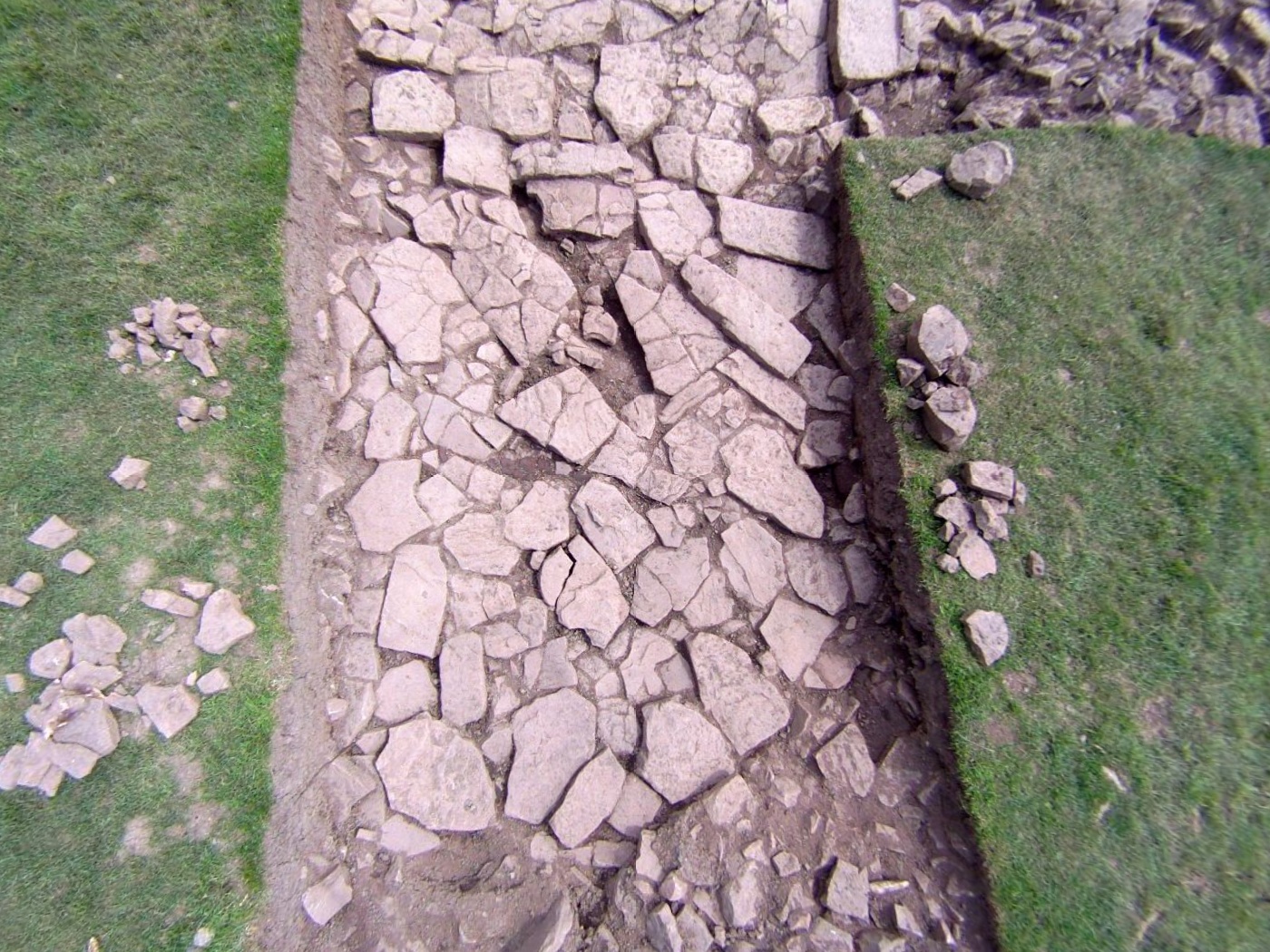
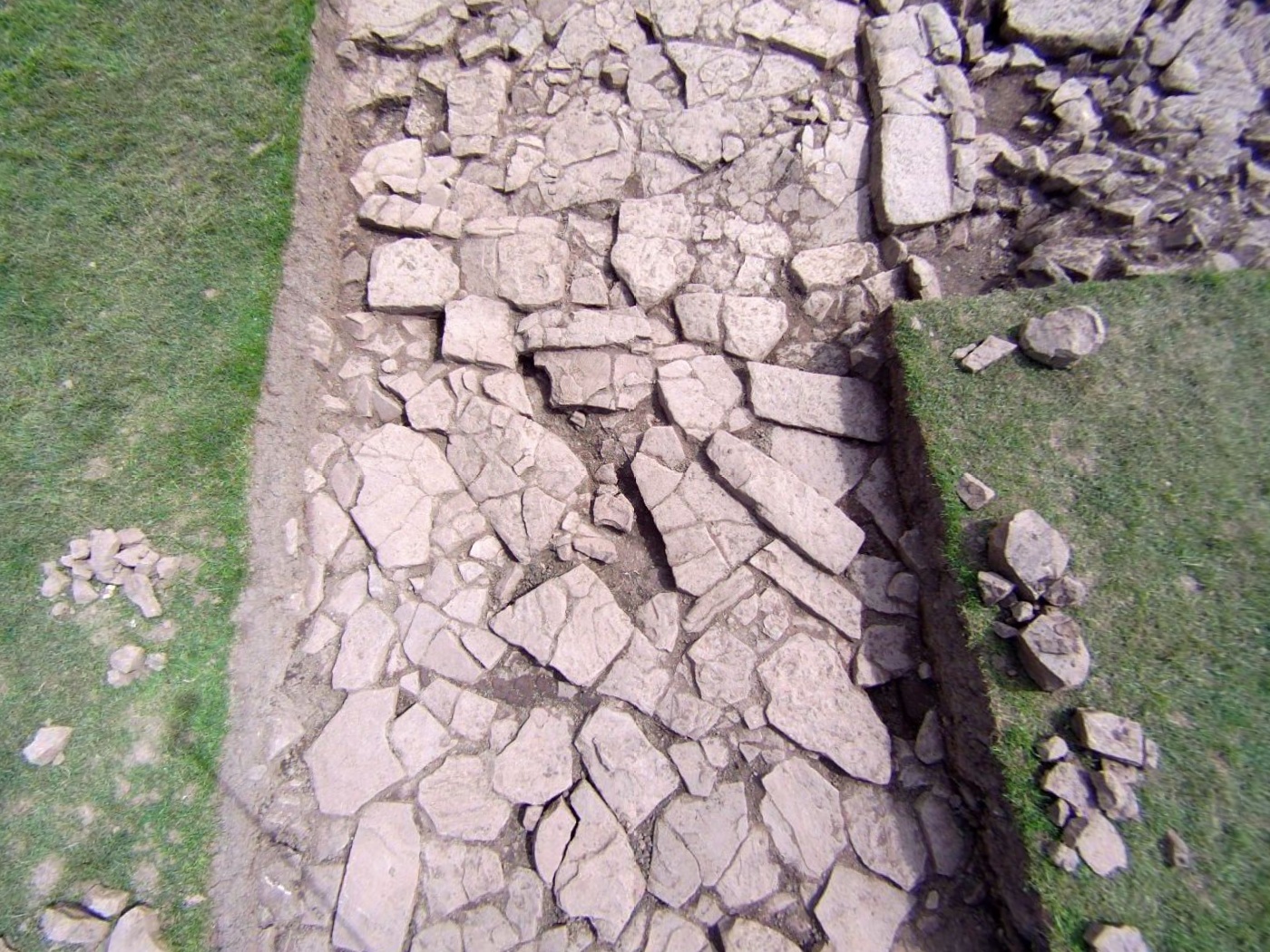
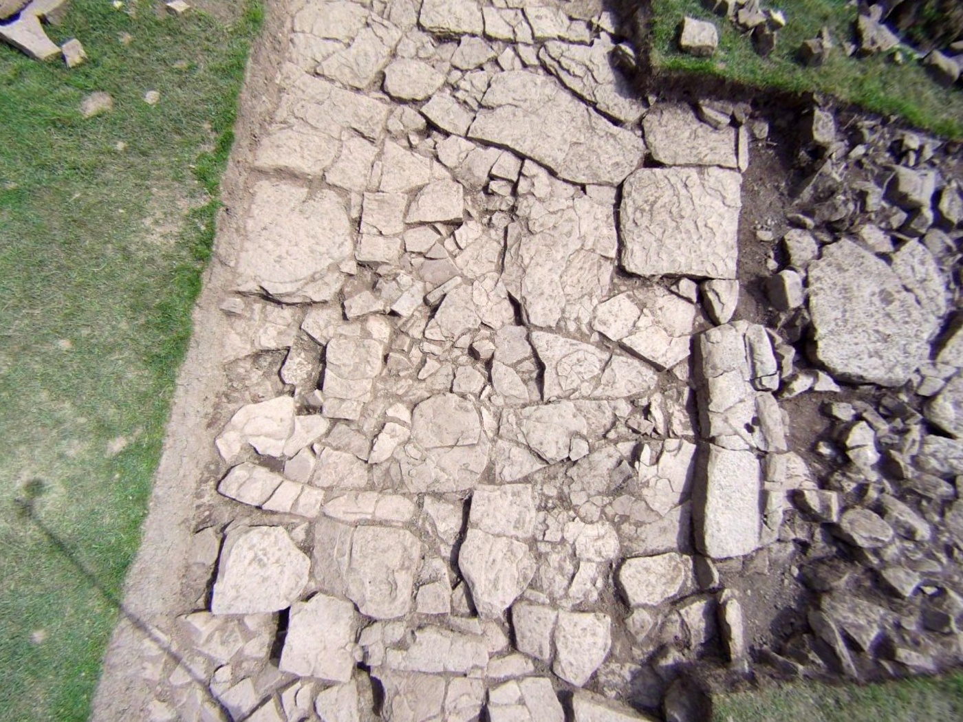
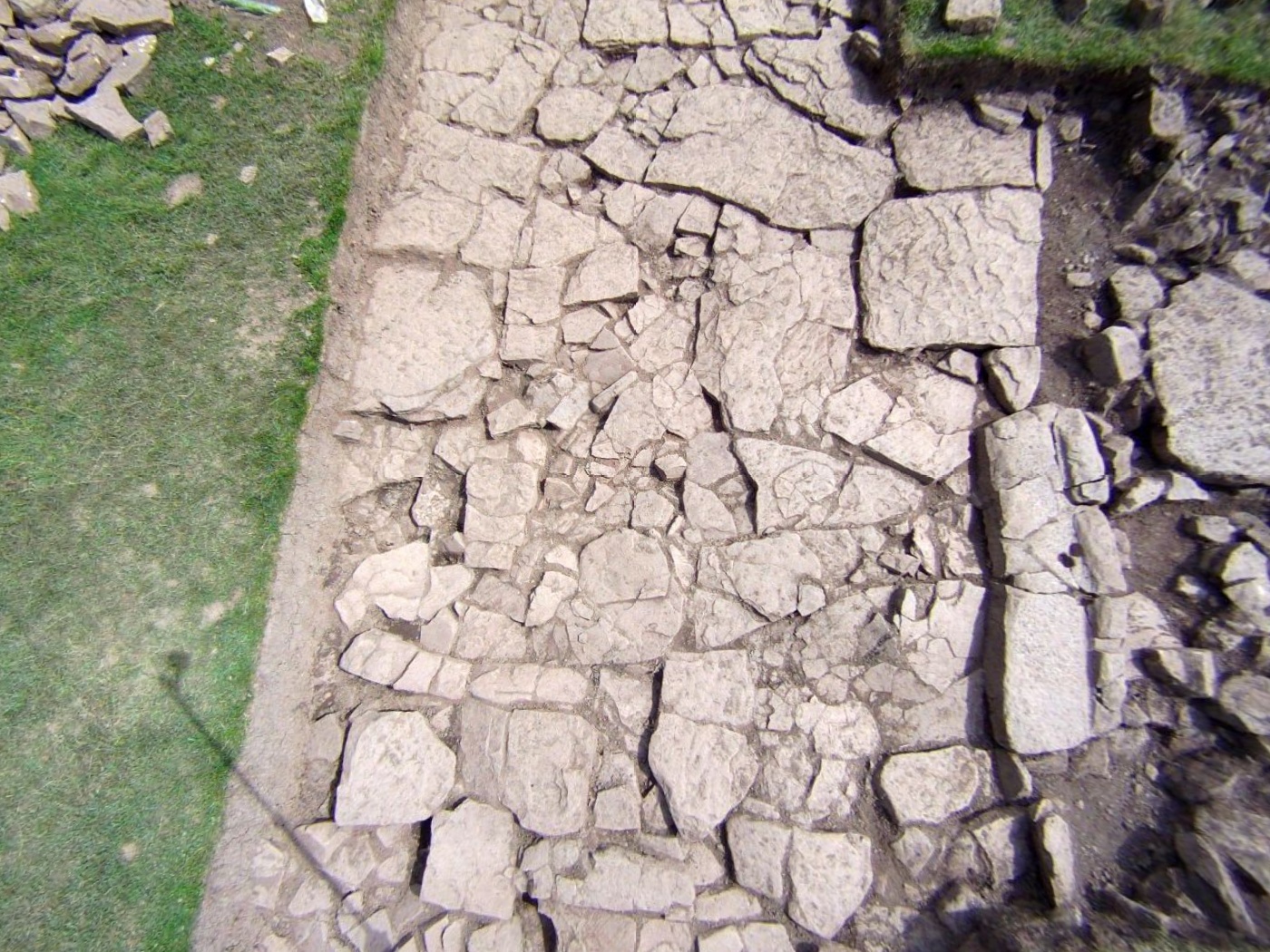
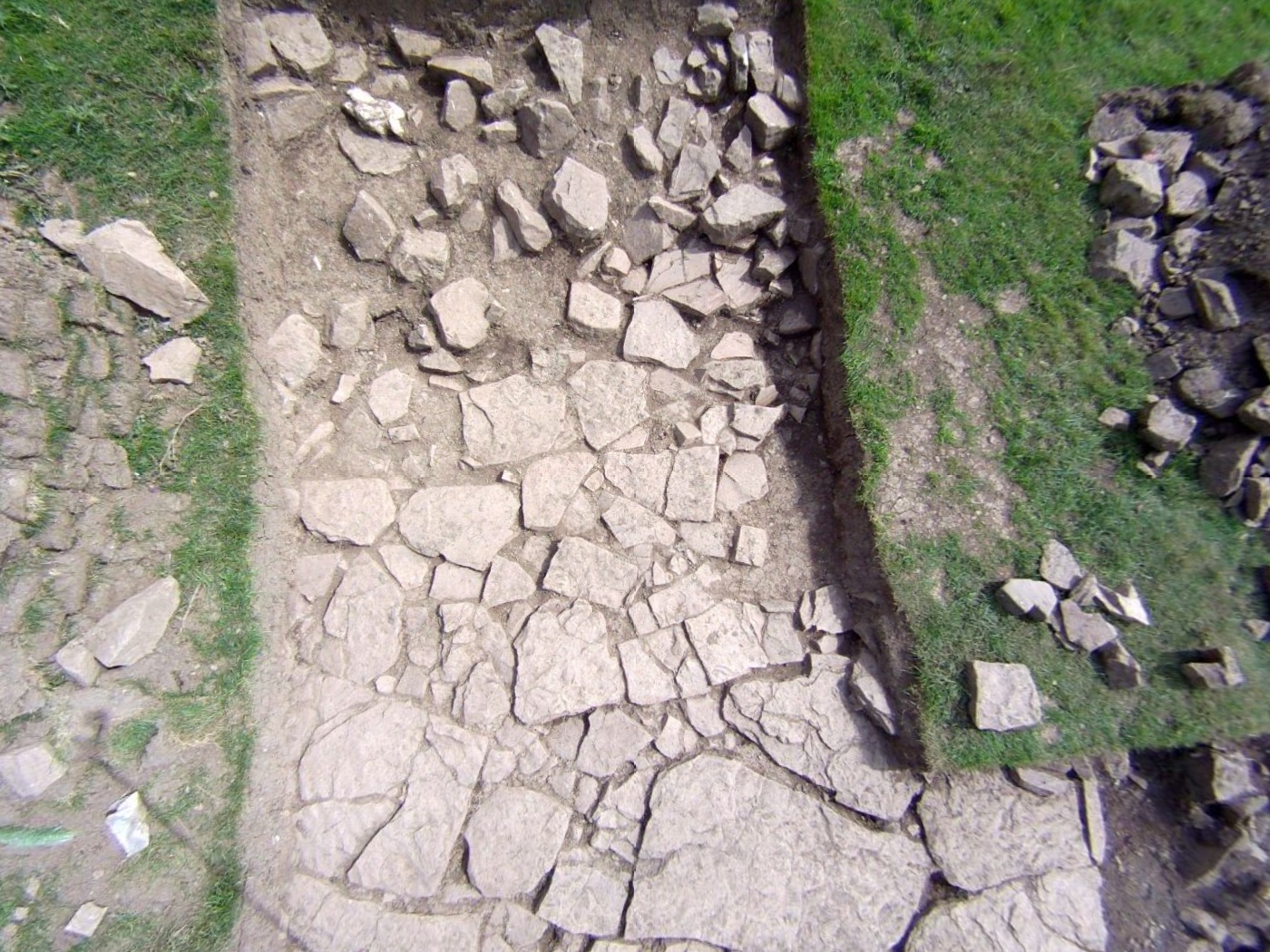
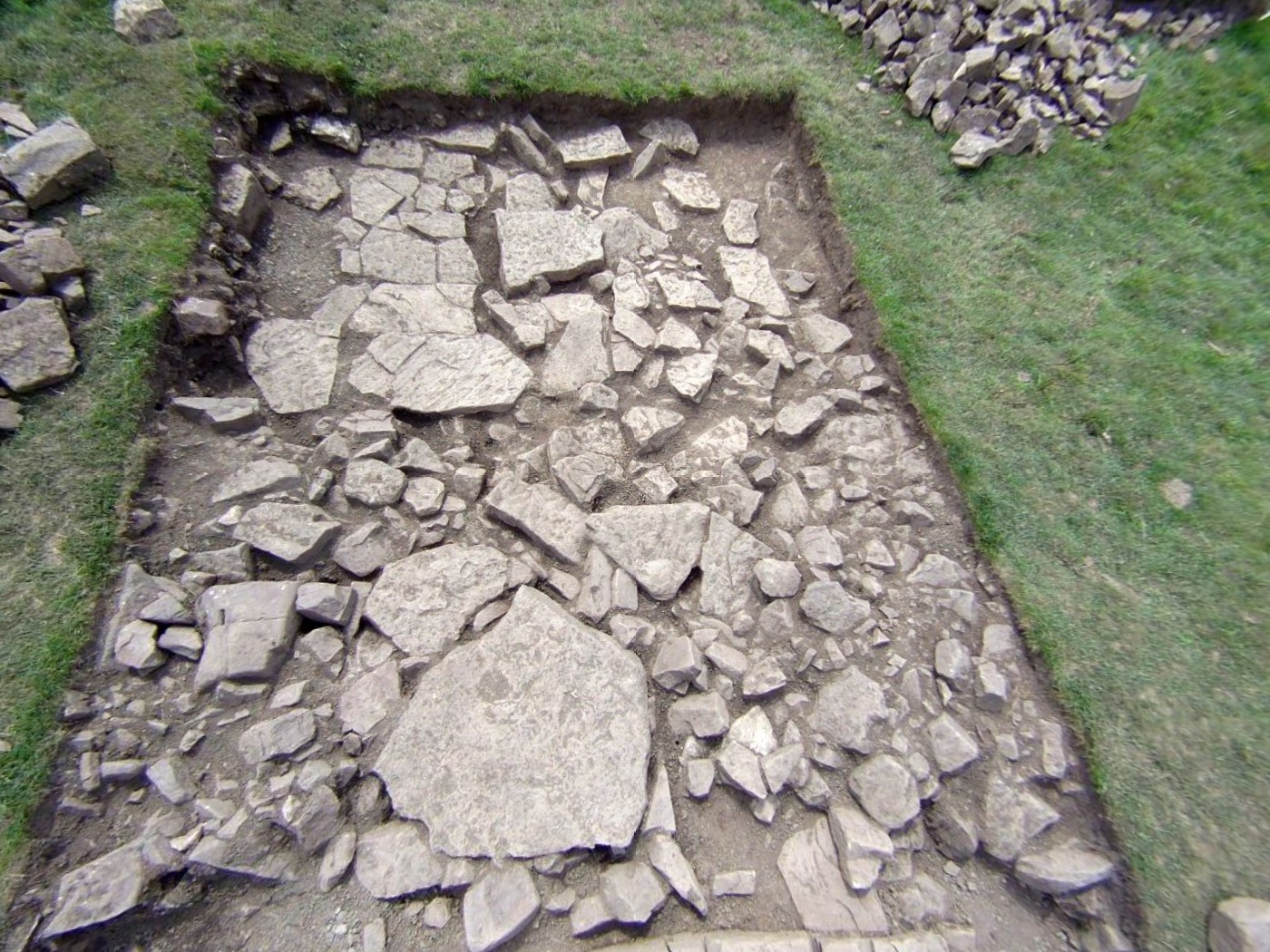
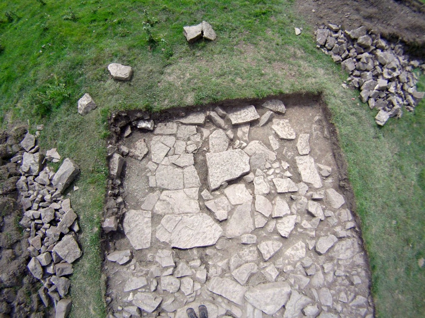
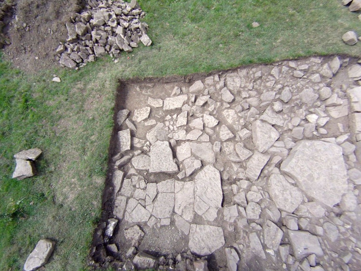
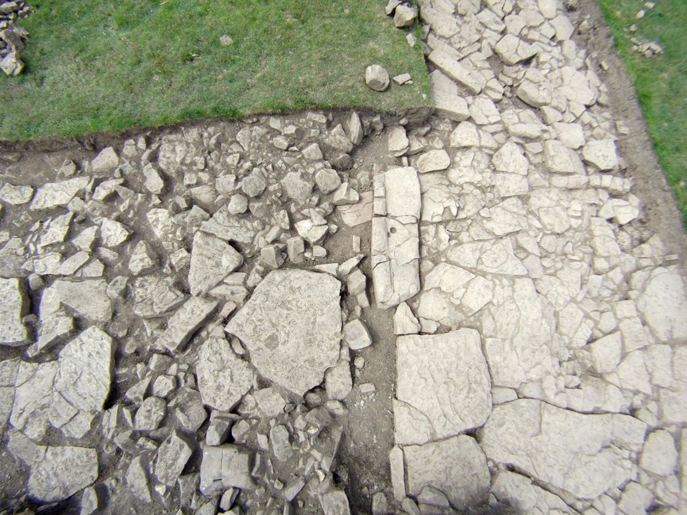
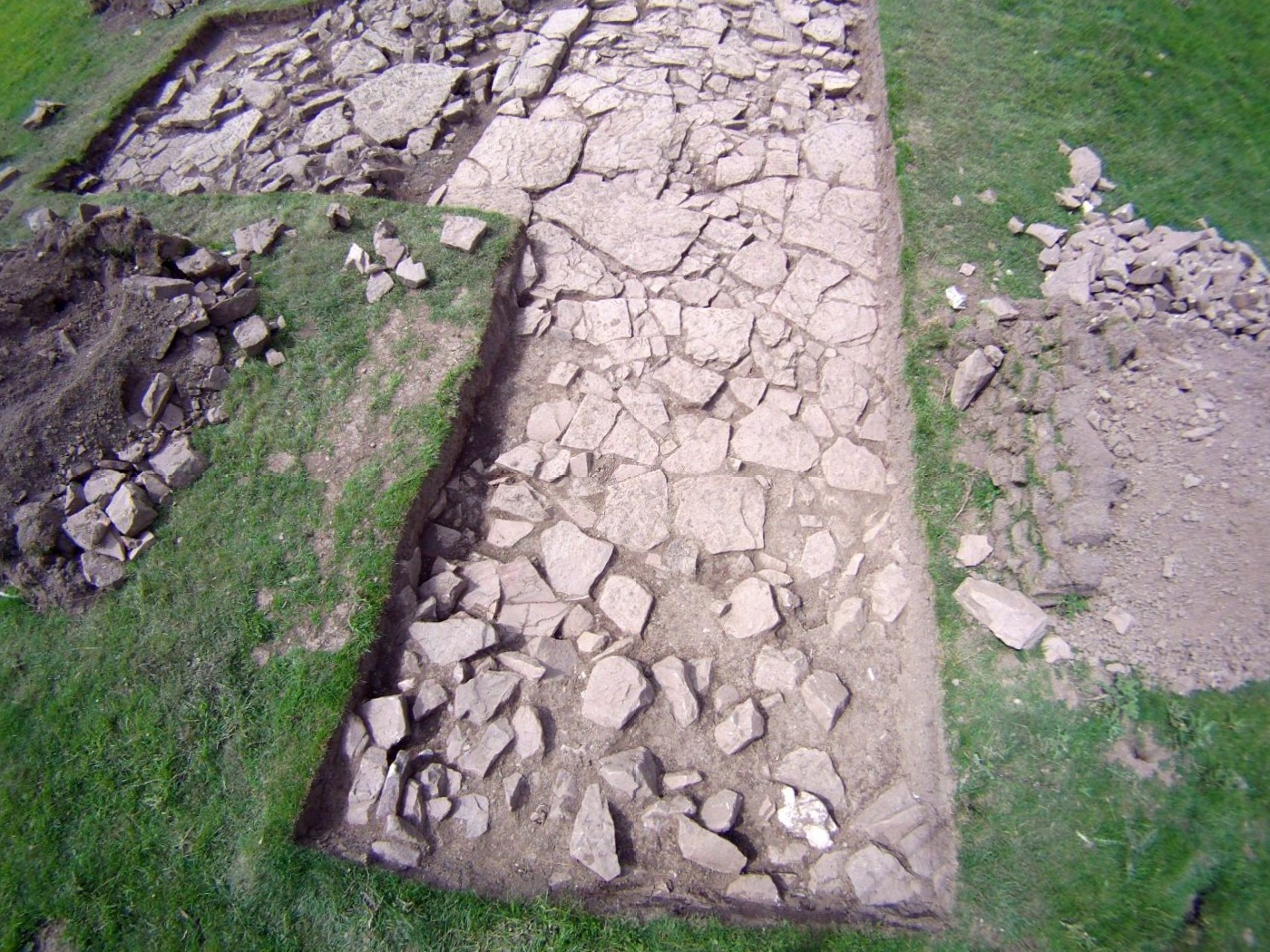

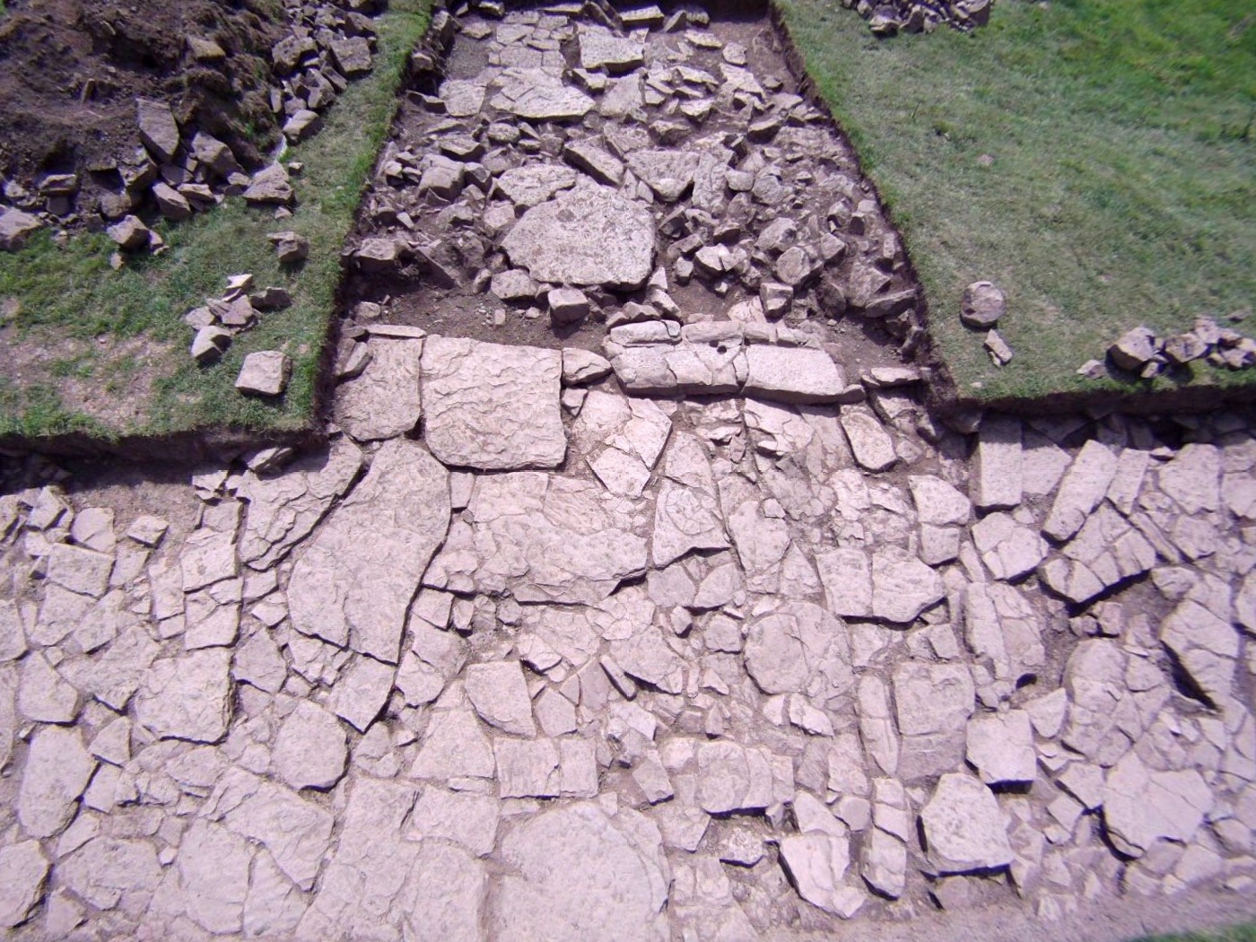
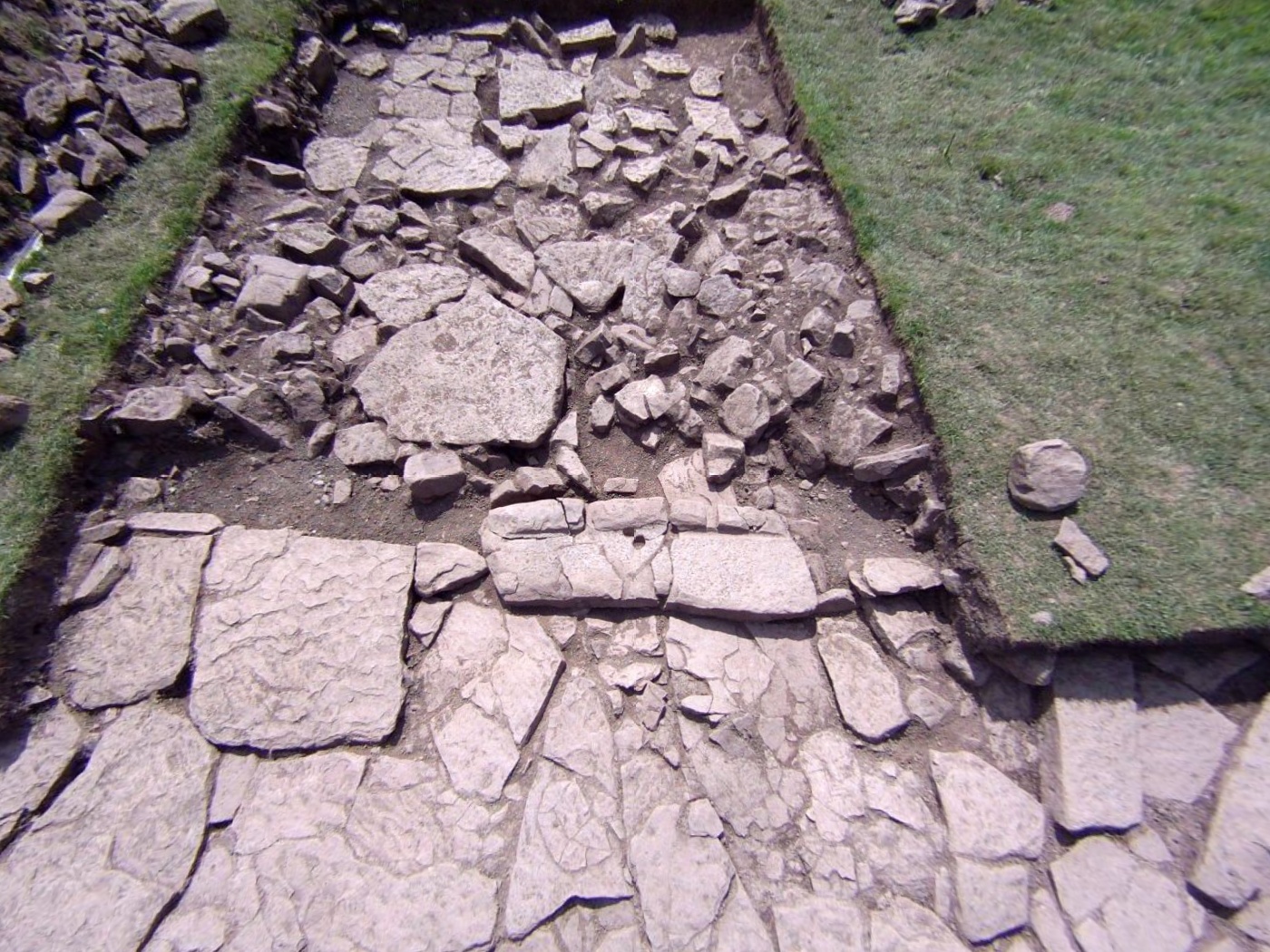
Is this a Romano-British roundhouse stone door sill with 'bolt holes'?
This is the second example on this site.
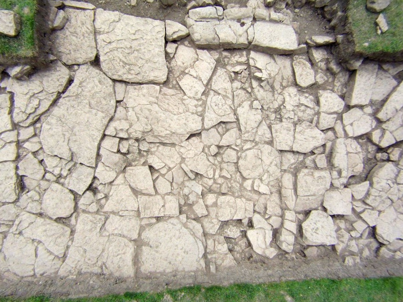
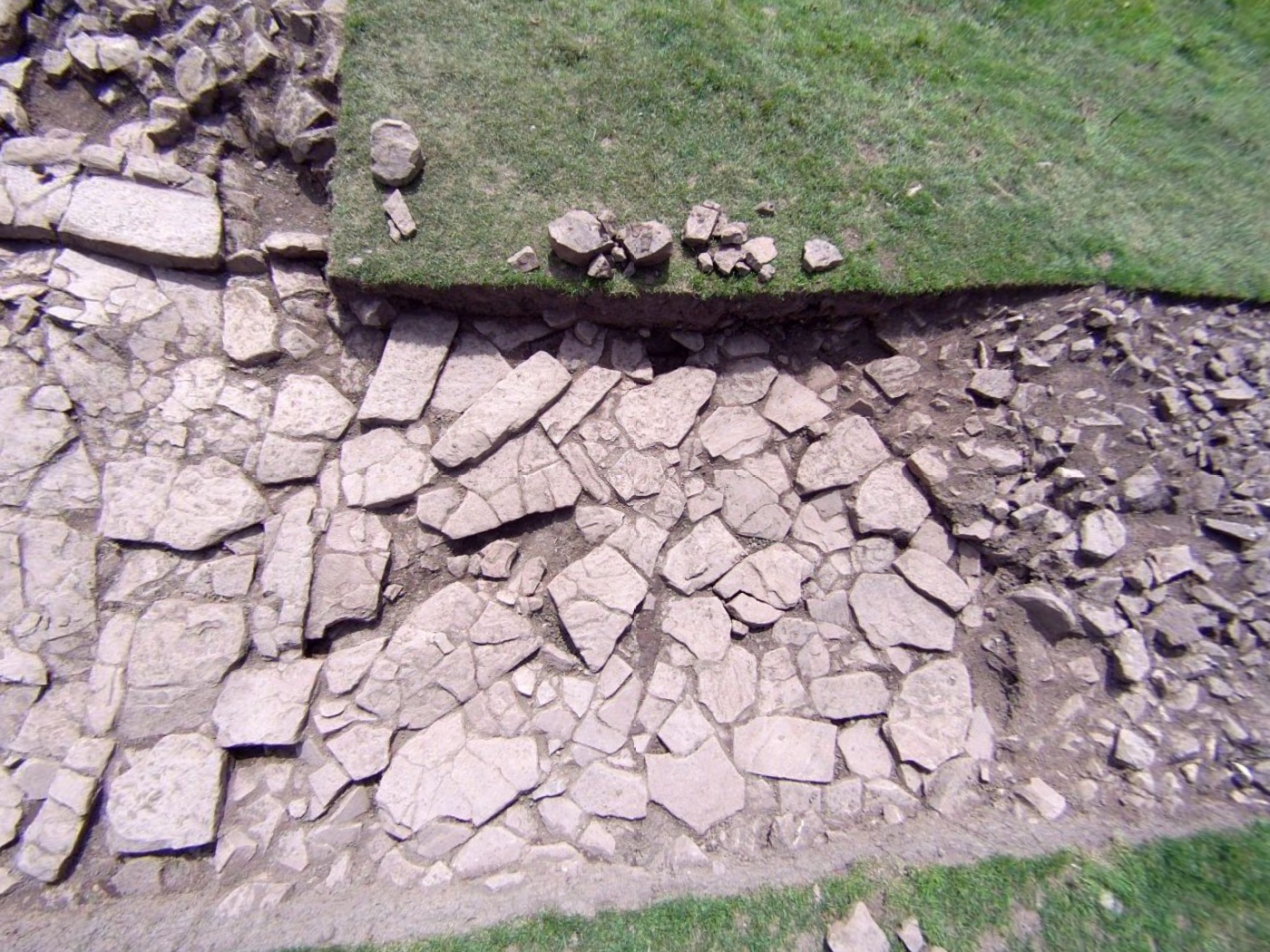
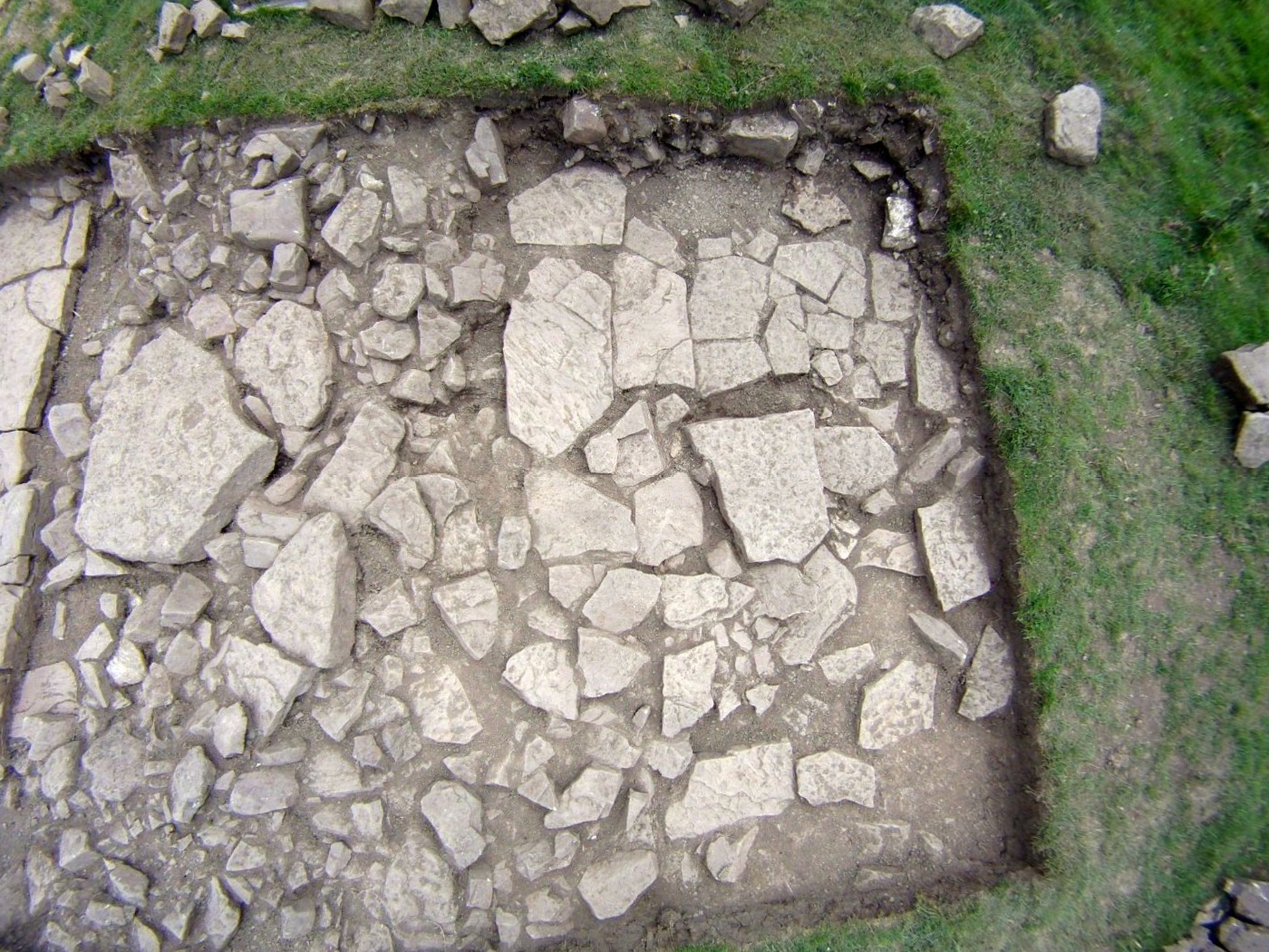
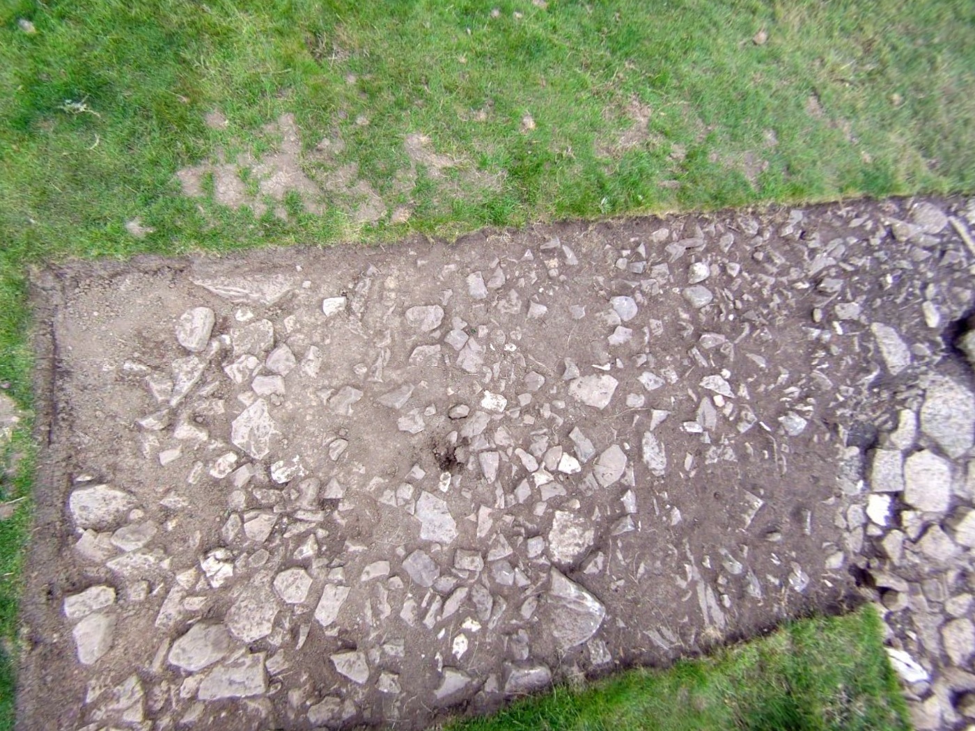
Trench 2 (below) runs roughly north-south and was widened
towards the west.
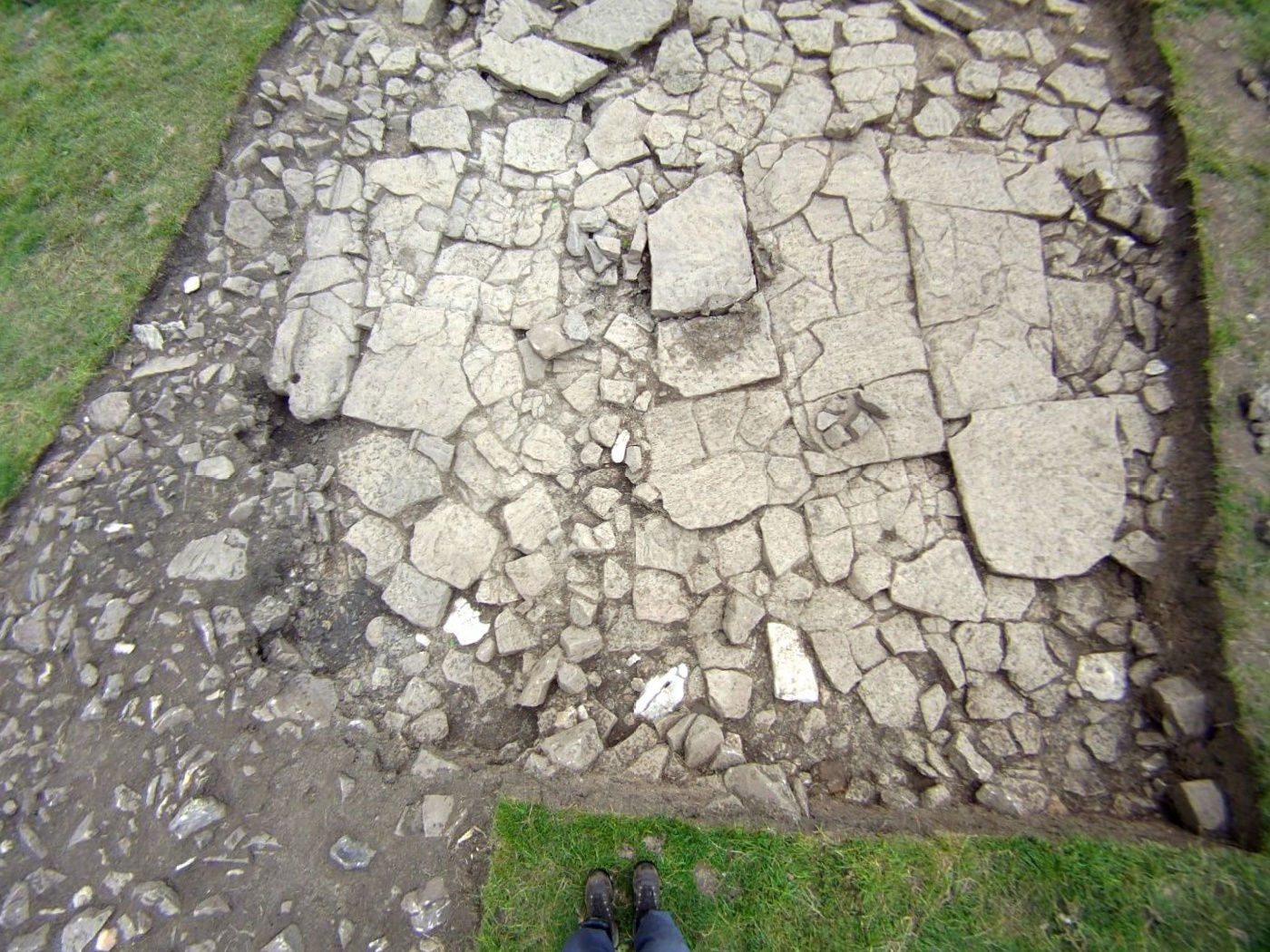
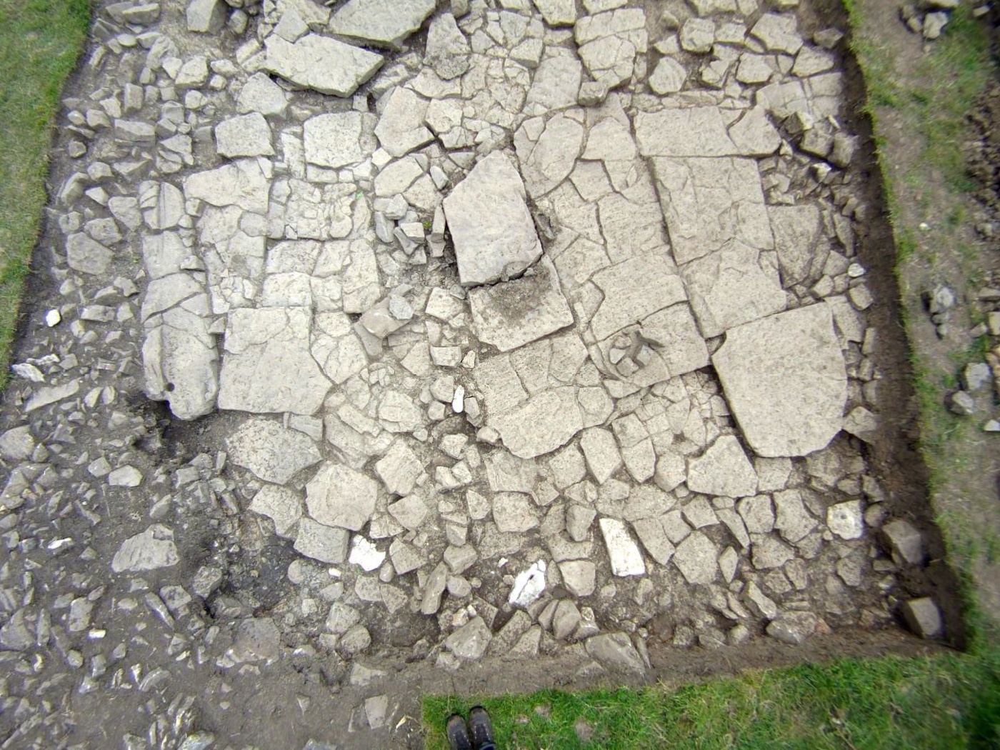

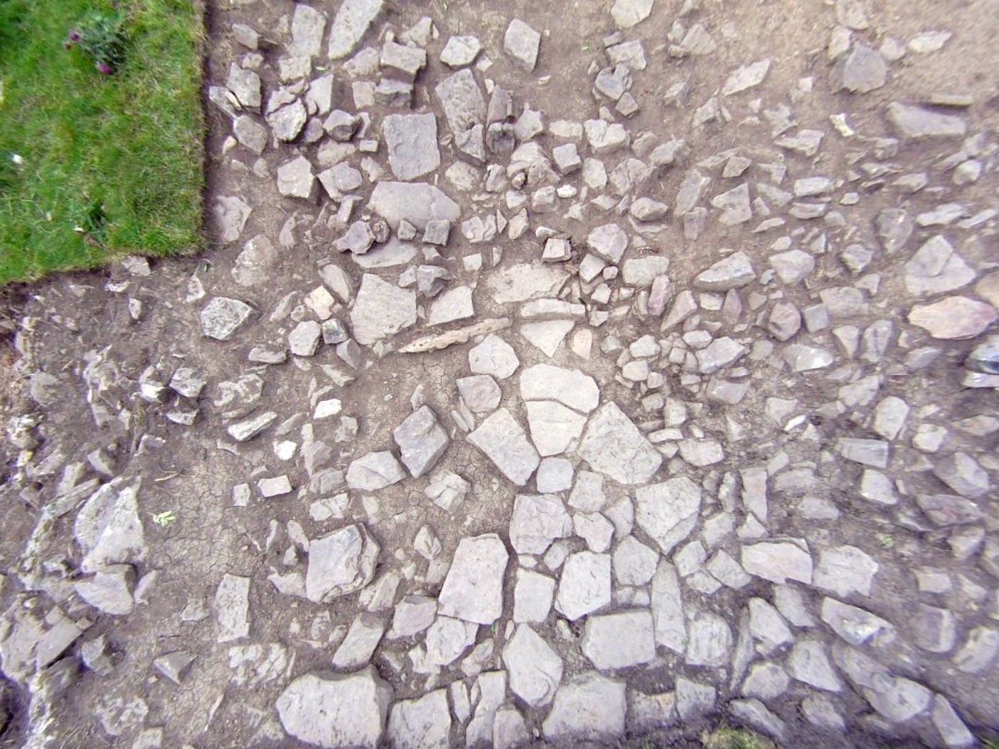
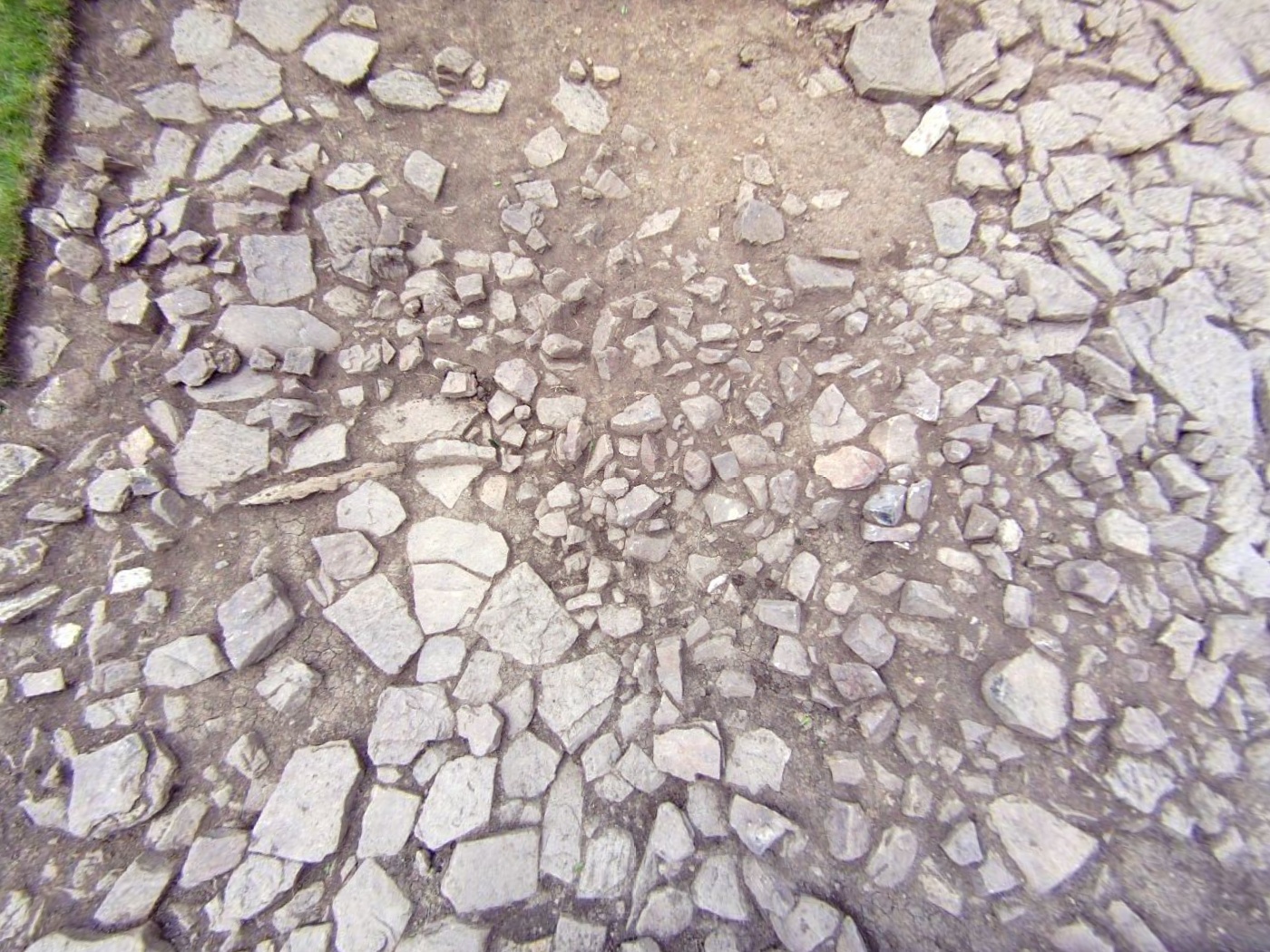
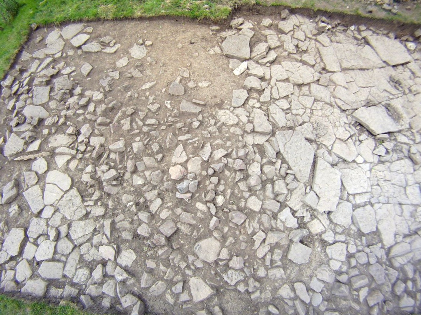
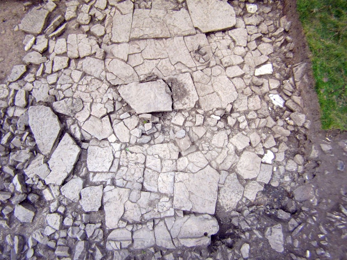
Is this a Romano-British roundhouse stone door sill with 'bolt holes'?
If so this was the first of two found on this site.
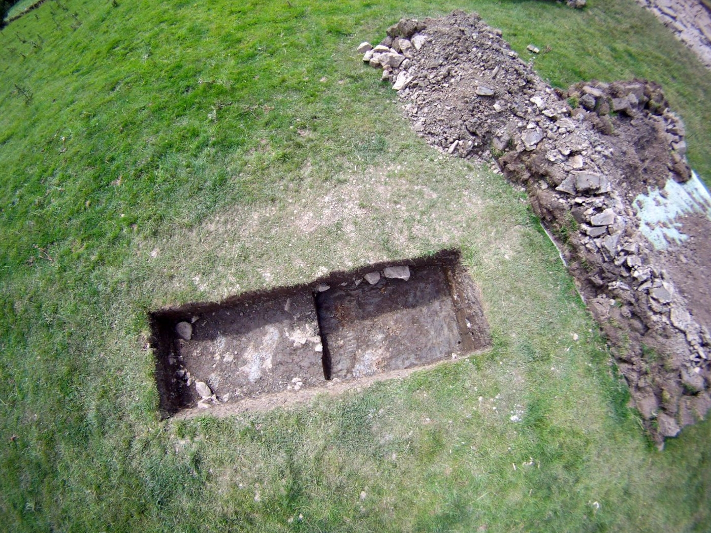
Trench 3 was a small test trench in what we thought might be a
surfaced yard area, but wasn't.

©SWAAG (swaag.org) 2012
Images © S Eastmead (swaag.org)
Video © M Walton (swaag.org)
Use the Contact page for © permissions.