|
| *****SWAAG_ID***** | 46 |
| Date Entered | 11/01/2011 |
| Updated on | 11/01/2011 |
| Recorded by | Stephen Eastmead (admin) |
| Category | Vernacular Record |
| Record Type | General HER |
| SWAAG Site Name | |
| Site Type | |
| Site Name | |
| Site Description | |
| Site Access | Public Access Land |
| Location | Stony man, Moresdale Road |
| Civil Parish | Not known |
| Brit. National Grid | NZ 03197 04013 |
| Altitude | 461m |
| Geology | |
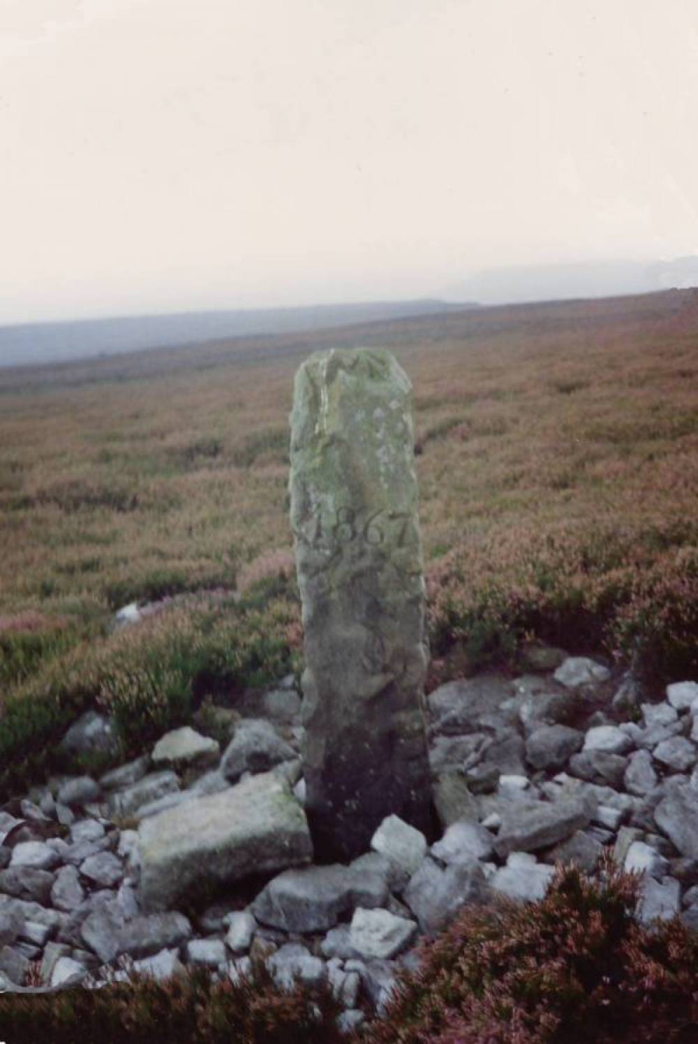
| Record Name | Boundary Stone at Stony man, Moresdale Road. |
| Record Description | Recorded in the late 1980's by Jocelyn Campbell
This stone marks the boundary point where at least 2 Civil Parishes meet. |
| Dimensions | Approx 1.2 x 0.3 x 0.3m |
| Geographical area | |
| Species | |
| Scientific Name | |
| Common / Notable Species | |
| Tree and / or Stem Girth | |
| Tree: Position / Form / Status | |
| Tree Site ID | 0 |
| Associated Site SWAAG ID | 0 |
| Additional Notes | |
| Image 1 ID | 63 Click image to enlarge |
| Image 1 Description | Boundary Stone at Stony man, Moresdale Road. | 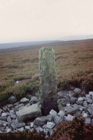 |
| Image 2 ID | 74 Click image to enlarge |
| Image 2 Description | Boundary Stone at Stony man, Moresdale Road. | 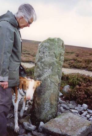 |